 vesseltracker.com
Find the position of the vessel Tai An Kou on the map. The latter are known coordinates and path.
marine traffic ship tracker show on live map
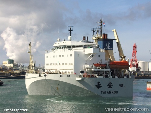
The current position of vessel Tai An Kou is 12.01333 lat / 45.20833 lng. Updated: 2025-11-18 01:21:42 UTCCurrently sailing under the flag of China
Tai An Kou built in 2002 year
Deadweight:
20247 tDetails:
Last coordinates of the vessel:
UTC, 12.17266, 45.68238, course: 253, speed: 12.1UTC, 12.13949, 45.58375, course: 253, speed: 12
UTC, 12.05833, 45.34833, course: -1, speed: 12
2025-11-18 01:21:42 UTC, 12.01333, 45.20833, course: -1, speed: 12
Track of the vessel in the last 14 days
The ship also appears on the maps: